Know every row.
Bring blocks, vine rows, and aerial imagery into one view. See the variability of your land and put detailed spatial information to work.

Know your land. Direct your work.
Platfarm brings mapping, tasking, and tracking together on the smart devices you already know.
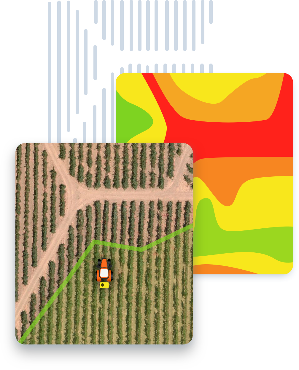
Platfarm connects the detail of your vineyard with the work on the ground. Digital maps, work zones, and tractor path tracking help growers and operators plan tasks, communicate clearly, and work with greater precision.
Bring blocks, vine rows, and aerial imagery into one view. See the variability of your land and put detailed spatial information to work.
Define work areas and application rates, and share tasks with your team. Make it clear where work starts, stops, or changes.
Track tractor paths and task progress. Keep a spatial record of work to support day-to-day operations and future planning.
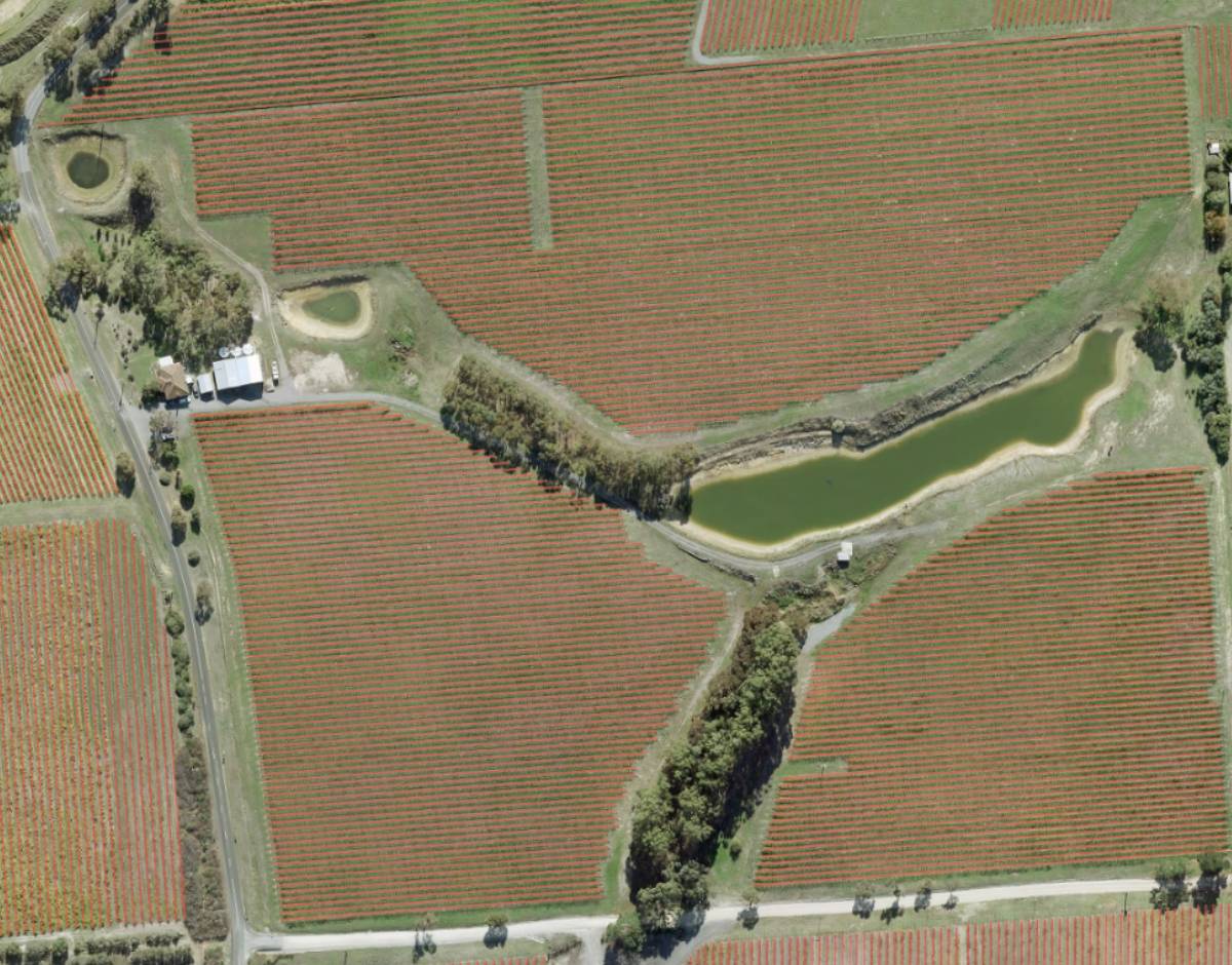
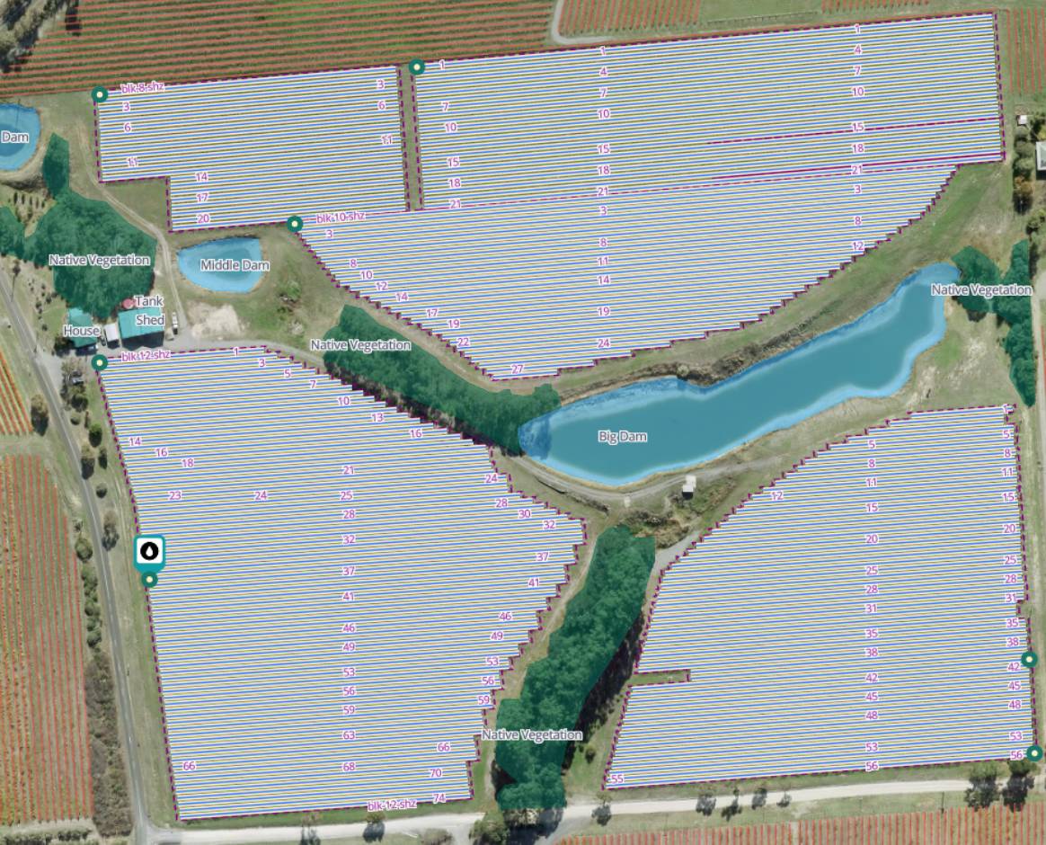
Drag to explore the vineyard map. You can also use the arrow keys.
A detailed digital map creates a shared reference for your vineyard. Numbered rows, block boundaries, and mapped features connect what you see on screen to where you work in the field.